Tuesday, August 28, 2012

Only 13.7 miles to go!
near the summit of Jane Bald, looking back at Round Bald
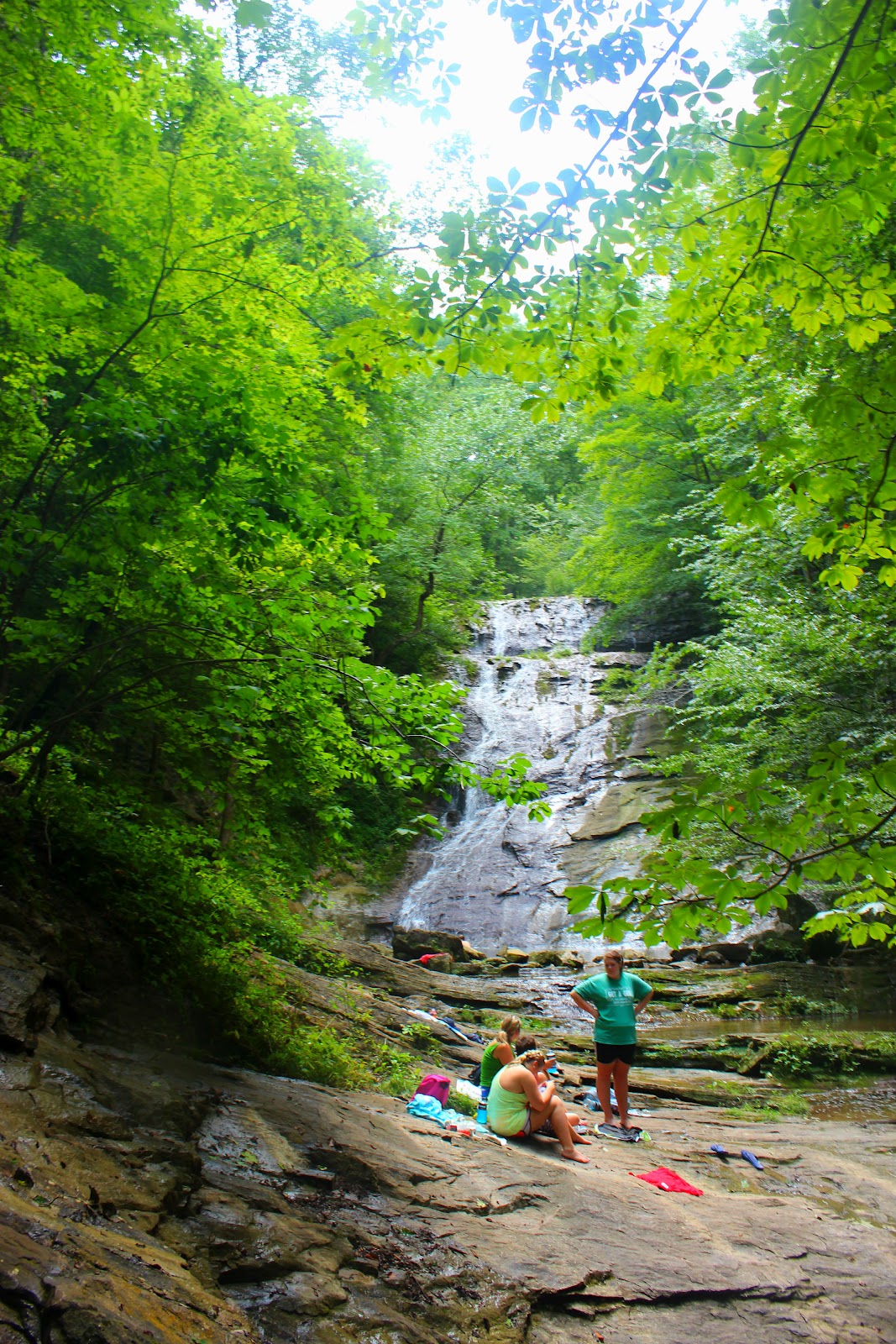
The Appalachian Trail

Since I moved to Gray, TN last August I have been intrigued by a sharp mountain peak that looms in the distance as I pull in my driveway each day. After some research, I learned that it's known as Hump Mountain and it is the southern anchor of the Roan Highlands. I have hiked on Roan Mountain for quite some time but taking on the Hump Mountain trail is not one to take lightly or unprepared. From the Carver's Gap parking lot it's 8.3 miles to the summit and from US 19E it's a 3000ft elevation gain over five miles to the summit, in other words, it's really hard to get to.
Yellow Mountain Gap
spur trail toward Overmountain Shelter
hiking up Yellow Mountain Gap toward Little Hump

I was really torn on which route would best serve me, I've hiked from Carver's Gap across the balds to Grassy Ridge which isn't a really easy hike with the up and down climbing but even from there it's still almost six miles of unfamiliar trail to the top of the mountain. I settled on the hike from US 19E due to the shorter overall distance of a eleven mile round trip hike, and last Sunday I set off to Roan Mountain alone and unsuspecting of the challenges that lay ahead.
Little Hump Mountain
see what I mean about "false summit"
Summit of Little Hump

For some strange reason on my drive to Roan I changed my route from US 19E to the Carver's Gap parking lot, I just couldn't face that elevation gain after a week with a nagging cold. I got started on the trail at 1040am and hurriedly made it across Jane Bald in the first hour averaging over two miles. I made it to the top of Grassy Ridge Bald just around noon and the nice weather had my spirits high as I rested along some boulders contemplating the trail ahead. From Grassy Ridge the trail descends for over a mile and the trail goes through small forests before arriving at the first shelter of the Roan Highlands, Stan Murray Shelter. As with most shelters it's a simple three sided building with a wooden floor, but it was a welcome sight and I rested briefly here carefully measuring my water for the trip ahead. From the shelter the trail meanders through more forested area and eventually reaches a clearing known as Yellow Mountain Gap. The views here are stunning although not from the lofty heights of the balds it's a nice picturesque scene. This area is also home to the Overmountain Shelter, which is a renovated red barn that seems like a luxury hotel compared to the sparse Murray Shelter. The trail begins a steep straight uphill climb back up the ridge and I recognized it to be the climb toward Little Hump Mountain. Suddenly my phone rang and I realized that I had service! After talking with my mom and her worrying about my shortness of breath, I sent a text to my wife to see if she would respond. I was already over six miles from my truck and also some tough climbing going back stood in my way as well. She responded and I asked if she could meet me at US 19E around 530pm and she agreed.
Hump Mountain
another view winding into Bradley Gap heading toward Hump
wild flowers trail side heading up the mountain
trudging on on the endless climb

I now had a goal and a time limit, I was tired and not even half way through my hike but I didn't want to spend the night in the mountains alone and nothing but a sweatshirt to keep me warm. The hike up Little Hump is almost cruel and unusual, the mountain has a "false summit" so each time I crested a ridge more mountain rose in front of me. When I finally realized I had made the summit the celebration was short lived, rising almost twice as high as Little Hump, Hump Mountain came into view and I was in awe of it's beauty and fear of it's daunting climb. If you could casually stroll across the void between the humps it might not be so bad but between Little Hump and Hump Mountain the trail drops steeply into Bradley Gap making you waste all the elevation gained to that point. I could see the trail worn through the grass of the balds heading up Hump Mountain and at the time it seemed I would never be able to make it that far. Both my ankles had raw blisters on them by now and I was drenched with sweat still gassed from the climb up Little Hump. I rested and took in the scenery, my saving grace was the nice constant breeze and the 360 degree mountain views, I thought of how many people would kill to be able to be in my position and the ones that would never be able to even if they wanted to. My second wind must have kicked in because my legs felt less heavy and I started into Bradley Gap in preparation for my final climb of the day. With each step toward Bradley Gap it appeared that Hump Mountain grew higher in front of me. Even if I wanted to I couldn't turn back now, I was too far and I was surprisingly ahead of my time limit on meeting Amber at 19.
gateway to the summit
final climb
cresting Hump Mountain
Hump Mountain looking back toward Little Hump

The climb up Hump Mountain was tough, I was at the eight mile mark which is really the limits for my usual day hike. I rested about every 100 yards are so, taking pictures at each point. I eventually made it to a wooden fence and remembered reading that it was the gate to the final summit of Hump Mountain. As I wound around the summit and the grassy bald I thought of how the mountain had taunted me for all that time from the comfort of my truck seat back in Gray. It was a good feeling when I crested the mountain and was greeted by three other hikers. They were much more "hikery" than me with fancy gear, boots, and sleeping bags tied to their packs. I had my walmart back pack and a canteen of water. They were surprised to see me and asked where I had come from and I told them Carver's Gap. They had came from there too and asked where I had stayed the previous night, and I said, "at home, in my bed!" The look of astonishment on their faces made all my struggles worth it, they couldn't believe how far I had come in a single day, apparently 8 miles in the mountains of Roan is a lot. I took some pictures and looked in the direction of Gray thinking of Amber undoubtedly laying on the couch watching Cake Boss. I was thankful to have the climbing behind me but I still had a five mile hike to the road and less than three hours before Amber would be there.
Grandfather Mountain and Houston Ridge in the foreground
heading down Houston Ridge

From the summit of Hump Mountain the trail gradually winds down the south slope through a vast bald eventually reaching another set of wooden fences. The trail from here enters a wooden area and narrows a lot and crosses loose rock after loose rock, I carefully made my way down but was losing time with the rocky path. After about a mile of brutal trail, it finally widens and is smooth one again, I really burned it up in this section reaching the Doll Flats camping area in just over an hour and almost three miles hiked. I passed a sign saying now leaving North Carolina but I didn't even realize I was in the state! I hadn't seen anyone in four miles now but then I started to hear some voices on the trail ahead. It was four older female hikers and they didn't shut up the entire time I followed them, eventually they wised up and let me pass and within the first few minutes I had lost sight of them completely. The final two miles was hard. It was steep the whole way downhill and my shoes were digging into my blister wounds, I could hear traffic but it never seemed to get any closer or any further away. My phone started ringing, and Amber announced her arrival at our meeting spot. Another five minutes of hiking and I caught a glimpse of a car through the trees, finally 19E! I looked at my watch and it was 520pm, I had made excellent time! Cash was with Amber and ran down the trail to meet me, and I was so happy to see them both! I piled in the truck almost too tired to talk and Amber took me back to Carver's Gap to pick my vehicle up and head home.
leaving Hump Mountain
final view of the day
my body may leave but my heart will stay

It's been several days since I completed this hike and as I write this my hips hurt, my blisters are still raw, and my cold is still nagging. I would rate this hike as my favorite though, I guess it's because of the effort I had to give to make it and the sights I took in along the way. I talked to a friend who has hiked the entire Appalachian Trail and he said the Roan Highlands are his favorite and most scenic part of the whole trail. I will eventually climb Hump Mountain again one day, but for now I will enjoy the pictures, I hope you will also...happy trails.

Friday, August 24, 2012

Recently, Amber and I went on a hike in the Mountain City area to Gentry Creek Falls. My dad had a chance encounter with a couple from there and in their chatter it was revealed that I enjoyed hiking. They told him about Gentry Creek and claimed it was one of the most beautiful falls in the state of Tennessee, but I had my doubts. A couple of weeks later, Amber had to work in Mountain City and once again, Gentry Creek Falls was brought up, so we made plans to knock this one off the list.
As you can see, Gentry Creek is a beautiful place

Amber is a good hiking partner despite her short legs, she trudges along nicely and having someone to talk to is always nice. Most hikes with her are spent with her fussing and cussing up the trail swearing these type things are grounds for divorce, while the hike out is her almost skipping along, talking with how easy it was.

I had read that Gentry Creek was an easy hike although it was a five miler round trip. Recently we had ran an 8k race together (5m) so I told Amber this would be easy because all we had to do is walk. "You always say that" as she burned a hole through me with her eyes, but we loaded up and made our way to the town of Laurel Blommery, unincorporated, of course. Our dog Cash even made the trip with us and he is a real hiking fool, I can only imagine the laughs people have as they pass a seven foot man with an 8lb dog prancing along behind him up the trail.
Cash having a rest
Cash hitching a ride

The trail is one of the most level pleasant hikes I've experienced but has over twenty creek crossings but none of which are too hard. Cash made great timing up the trail but at each  crossing he stopped waiting for Amber to lift him across, he has never been a fan of water. In about an hour we climbed around some rocks and I could hear the falls,  as they came into view I was thrilled. It had rained a lot that week and the flow of the falls was excellent. There was even a nice bonus wet weather falls flowing that day. The main falls is a double drop, each falls is just over 30ft high and the surrounding area is beautiful and undisturbed by human hand. The lower falls can be climbed by rooting around through some laurel and climbing a narrow ledge above the falls to the base of the upper waterfall.

Amber and Cash rested along the stream while I snapped some photos, we both marveled at the beauty and were surprised that we hadn't been here sooner. Gentry Creek Falls is indeed a beautiful waterfall, the hike itself is wonderful and was lined with more types of mushrooms than I had ever seen anywhere else. I definitely will be back to this one, sooner rather than later. Until next time, happy trails.
Upper falls at Gentry Creek
the falls through the trees
bizarre fungus

UPDATE 04-08-13: Sad to report a 22 year old male lost his life at the falls yesterday. The steep terrain around the top should not be taken lightly. Don't be the next statistic! Stay safe!


Russell County, Virginia is near and dear to my heart for many reasons. I worked there briefly in the town of St. Paul and made many friends that I still have to this day. While I worked there, people eventually learned of my obsession with hiking and some of the locals asked if I had ever heard of Russell Creek Falls.
Clinch River

Immediately I imagined a small stream trickling over a 15ft drop and a waste of my time, but eventually curiosity got the better of me and I enlisted the help of the hiking guru from that area, Daniel Barnette. Working with Daniel is an adventure in itself, so I was almost nervous wandering into unfamiliar territory with him. When I showed up to pick him up, he had on his work clothes, khakis and dress shoes and announced he would just "roll his britches up" if the creek was high. We had a word of mouth set of directions and between narrowly escaping an oncoming train along a narrow pass and wading down a cliff strewn with briers (I had on shorts) we found a old jeep road along the Clinch River as we approached a side stream that blocked our path I heard the familiar roar of a waterfall. I also saw that the area was mowed, well maintained, and had NO TRESPASSING signs posted on either side of the stream. I didn't see anyone else nearby so I decided to take a few pictures anyway. I couldn't help but laugh at Daniel wading the stream, pants rolled up, carrying his shoes, with a cigarette bouncing freely on his lips.
Russell Creek Falls

The falls were huge! I was stunned they were hidden in a little gorge with two large boulders crisscrossing in front and the water narrowly drained swiftly and loudly into a deep green pool. I only had a cell phone camera that day and took as many pictures as I could but vowed to return.
Main drop of Russell Creek
water draining from the pool below the falls
standing along one of the large boulders

Fast forward two years, Once again Daniel was my hiking partner as well as our friend, Matt Mullins. We found the falls much easier than our first trip and we both noted the improved roads and development along the way. Right as we approached the falls, I noticed new more prominent no trespassing signs and two tents set up along the stream. I had bought a nice camera and just wanted photos, so yet again, I continued on.

The falls were lower flowing this time but still magnificent. It was Matt's first visit and he proclaimed them better than the insanely popular Laurel Falls. (I agree) The main drop is anywhere from 50ft-60ft and the falls pool deeply there before being forced down a narrow chute around two large boulders into a deeper pool below. I could spend an entire day here just listening to that water. Daniel has floated the nearby river and decided we should go upstream to some rapids along the Clinch, the trail was nonexistent and the weeds were up to my elbows, or Daniel's face. We came to a clearing along the river and found the rapids. Daniel and Matt swam for awhile before we went back to the main falls to pick up the trail home.
Matt (L) and Daniel (R)
Clinch River rapids
still waters along the Clinch
Daniel meeting the Clinch, a few feet over and he would have met a jagged rock just under the water.

As we approached the falls I heard a faint noise similar to a lawn mower, but as we got close to the falls, the water overpowered any other sound. As we turned to leave a man on a 4X4 mule ATV pulled up. I just knew I was busted, he got out and approached us but it turned out he was a heck of a guy. He lived just down river and was friends with the owner and done some of the trail maintenance or at least it appeared that way with his chainsaw and weedeater in the bed of the ATV. I told him we were just wanting some pictures and he said it was posted because of people's disrespect to the property by leaving trash but we were welcome there as long as we didn't trash the property. I was relieved and told him we were gonna hike on out cause it was getting dark and he said we would give us a lift to the top of the mountain. I got the comfort of the front seat while Daniel and Matt got to sit gingerly atop a chainsaw and a weedeater.Here's some pictures of our adventure from yesterday, hope you enjoy and happy trails!

Saturday, August 4, 2012

It's rare that I go on a hike that allows me to park within eye sight of the waterfall I'm "hiking" to, but that was the case today when I visited Elrod Falls near Sneedville, TN. For some reason, Elrod Falls has always stayed just a little off my radar until yesterday when I spoke to someone who had visited them although it had been years.
Lower Elrod Falls
lower section of first falls
halfway up the first falls

Amber and I traveled the hour to Rogersville and then across Clinch Mountain via highway 31 into Hancock County earlier today. Once you cross the mountain it's only about three miles to the left hand turn on Elrod circle, from there the road forks and a small sign is roadside indicating Elrod Falls Park. The road dead ends at the parking area for the falls and the first falls is visible just up the creek.
upper section of 1st falls
Amber making it up the trail
Upper Elrod Falls

I think the most surprising thing about the falls is that they are still in pristine condition, I can't think of any trash I seen anywhere. The creek itself was somewhat low considering the heavy rains we had yesterday but as I approached the base of the first falls I was surprised at the size of the drop before me. The water drops off a 25ft ledge near the top of the falls and then slides the remaining 75ft on a sloped slick rock face before emptying into a deep green pool. A trail to the right side of the base climbs steeply to the top and after a few minutes of photos, Amber and I started climbing up the side of the falls. Amber's climbing skills have drastically improved since we first met and seeing her make it up the trail with ease was an awesome moment for me. As we topped the falls, the second 100ft falls becomes visible. I have never seen such a unique waterfall, a big piece of rock has broken free about halfway down allowing you to stand under the ledge and the water to skip just over you allowing you to stay dry. I spotted a log at the base of the falls for Amber and I to sit on and soak our feet so we rested and watched the small minnows swim by until we realized the log was also home to a yellow jackets nest! We calmly and swiftly escaped the danger by wading downstream and away from their turf.
my beautiful wife

I would recommend visiting these falls, and I plan to do it again. There is a third falls further back but the climb to it looked downright deadly, especially after the rain from yesterday. The trail was the slickest I've hiked, all the rocks have been worn down from visitors over the years and footing is tough even on the level parts. There was a group of people from Grainger County there and several of their group ate some trail. I even got a picture of one of them falling when they had me take a group picture. So next time you crave some adventure, head down to Hancock County, take your camera and some good shoes, you won't be disappointed, and until next time...happy trails!
heading out, literally a rock's throw from the parking lot